Who We Are
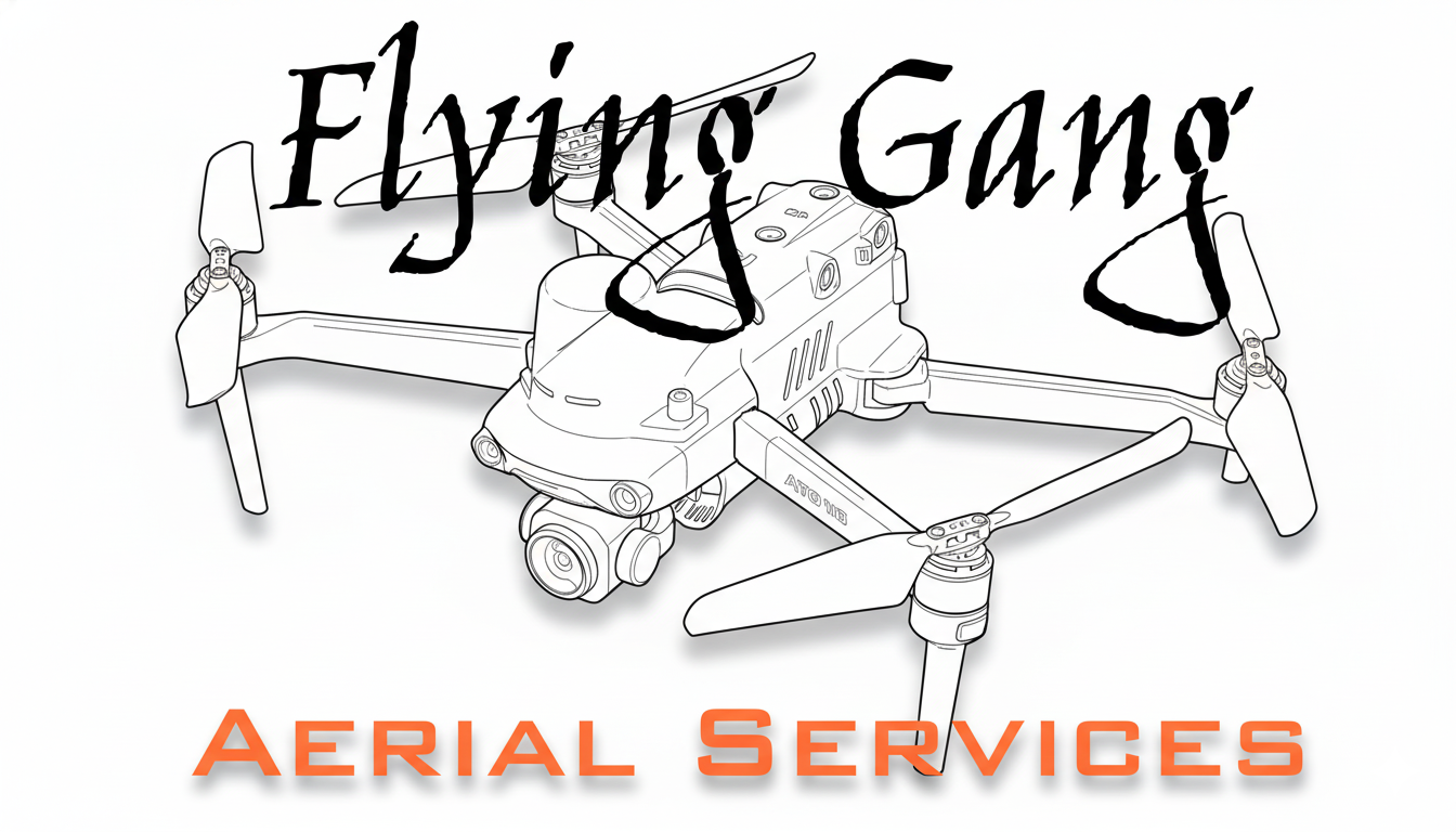
About Flying Gang
30 years of civil engineering experience, now taking flight.
The Story
Engineering First, Aerial Second
Flying Gang Aerial Services was founded on a simple observation: most drone operators don't understand what engineers actually need. They capture pretty pictures. We capture usable data.
With three decades of civil engineering and land surveying experience, we approach every flight from the perspective of the people who will use the deliverables. We know what makes data useful — because we've been on the receiving end of both good and bad aerial surveys.
Based in Polvadera, New Mexico, we serve engineering firms, surveyors, and construction companies throughout the state. Our focus is precision, reliability, and deliverables that integrate seamlessly into your existing workflows.
Heritage
The Name
The "Flying Gang" was a loose alliance of pirates operating in the Caribbean in the early 1700s. Among them was Richard Worley, captain of the New York Revenge, who is credited with creating one of the first versions of the skull-and-crossbones flag that became the iconic Jolly Roger.
As a direct descendant of Captain Worley, the Flying Gang name connects our modern aerial operations to a legacy of independence, resourcefulness, and getting the job done — though we've traded the black flag for orange drones and the Caribbean for the New Mexico high desert.
Credentials
Qualifications
FAA Part 107 Certified
Licensed commercial drone pilot with current certification and all required knowledge tests completed.
30+ Years Engineering
Extensive background in civil engineering, land surveying, and construction documentation.
Fully Insured
Commercial liability coverage for all drone operations. COIs available upon request.
RTK Precision
Survey-grade equipment delivering 2cm horizontal accuracy. NTRIP-connected for real-time corrections.
Technology
Equipment
Professional-grade hardware for survey-grade results.
Autel EVO II RTK
Our primary platform is the Autel EVO II RTK series — a professional mapping drone with integrated RTK positioning for centimeter-level accuracy without extensive ground control.
Key Capabilities:
- RTK GNSS with NTRIP correction support
- 1-inch sensor for high-resolution imagery
- 42-minute flight time
- Integrated mission planning
- All-weather capability